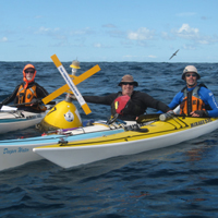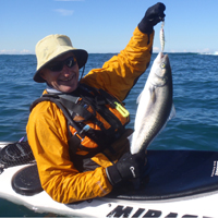
I ran a weekend trip to Seal Rocks for the Club in May 2010.
Seven came all in. John, Michael S, Michael T, Gina, George, Stewart and myself.

GPS track to Elizabeth Beach
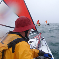
The plan was to go from Seal Rocks north to Elizabeth Beach and return. There was a 4m southerly swell with sets rolling through up to 6m with a 12-14 second period so we knew exposed beach landings would be dangerous. The BOM forecast told us that too but we already knew. There were also moderate S winds and we considered a one way paddle to Forster but in the end we settled for a one way trip to Elizabeth Beach, being a safe landing tucked in behind several headlands. Day one’s paddle was 15km.
Gina arrived Saturday afternoon and brought some special plonk with her to cheer us all up. After dinner, we all walked to Lighthouse Beach and explored the lighhouse itself which was eerie on the drizzly dark night.

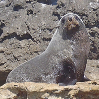
GPS track to Seal Rock
On the Sunday, we opted for a shortish paddle south so we could head home at a decent hour. We decided to explore the Seal Rocks headland and paddle south out to Seal Rock. It turned out this was to be the tougher day for the conditions. The swell was still solid at 2m and the area close to the cliffs was very lively and no one was going to approach too close. In the end, Sunday’s paddle was still a decent 14km with some fun conditions and a bit of surfing at the end.
Click to go to the photo album